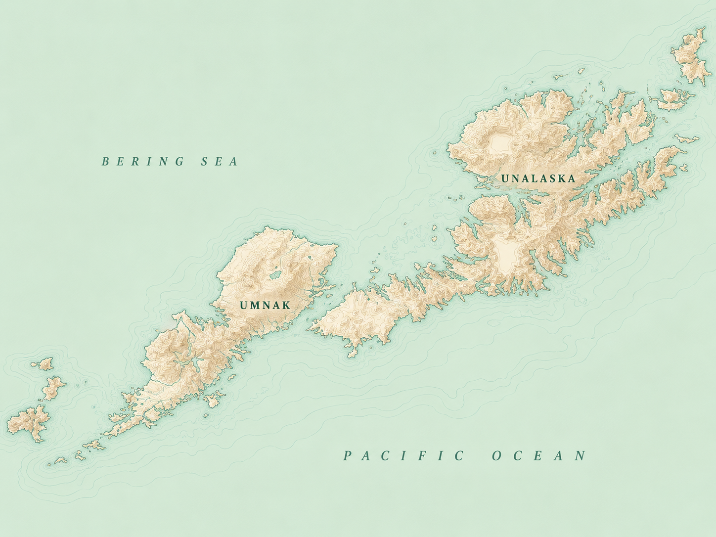
Umnak Island

Lush volcanic grassland in the Aleutian Archipelago.
The Cradle of Storms
Umnak sits in the eastern Aleutians, in a stretch of ocean known as the Cradle of Storms — where warm air off the Pacific meets cold air from the Bering Sea. The collision breeds wild, fast-moving weather, and it also creates something rarer: a unique island microclimate.
Tempered by the surrounding ocean, Umnak is cold but never reaches the deep freeze of mainland Alaska or Canada. Rain falls year-round. The result is lush, green grassland and a remarkably diverse island ecosystem — conditions found almost nowhere else at this latitude.
The Okmok Caldera
Dominating northeastern Umnak Island is the Okmok Caldera. Approximately 10 kilometers wide, its immense, stark geometry inspired our company name and visual brand. According to the Alaska Volcano Observatory, its current form is the result of massive volcanic events thousands of years ago. It stands as a constant reminder of the scale of the environment we operate in.
Fort Glenn History
During World War II, the U.S. military established Fort Glenn near the caldera's eastern flank. Today, the remnants of this base are a quiet, protected part of Umnak's history. We approach this land with deep respect for the history that occurred here and the indigenous Aleut cultural heritage that predates it by millennia.
Climate & Terrain
Explore the Business
The environment dictates the rules. Learn how we are building our operational standard for animal care, grazing, and processing.
The Business